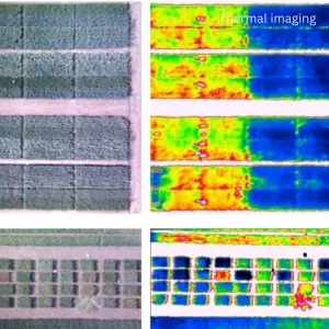

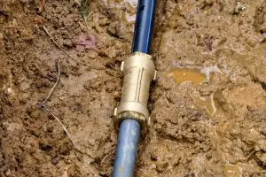

Thermal detection of underground water leaks and saturated zones using temperature contrast between wet and dry ground. What we look for Subsuface leaks Saturated soil

MDLG delivers non-invasive thermal drone monitoring to support wildlife protection, conservation management, and anti-pouching operations across reserves conservancies, and game farms. Using thermal imaging, we
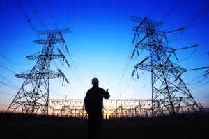
Aerial thermal screening of electrical and industrial infrastructure to identify abnormal heat signatues that may indicate develoing faults. What we look for Overheating connectors and
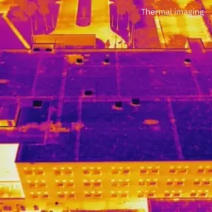
Thermal drone scanning to detect hidden moisture beneath roofing membranes and insulation layers – without drilling, lifting, or damaging the roof. What we look for

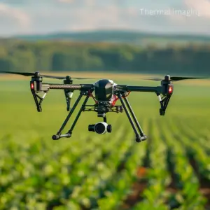
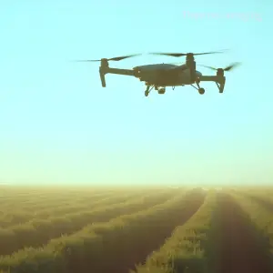
Thermal mapping of agricultural land to identify crop water stress and irrigation inefficiencies using temperature variation across fields. What we look for Under-irrigated zones Over-watered
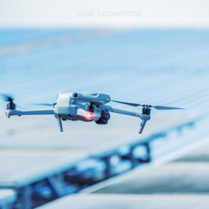
MDLG conducts aerial thermal inspections of solar PV installations to identify early-stage faults that can reduce system performance, increase fire risk, or lead to premature